![animation_logo[1].gif](https://static.wixstatic.com/media/3b5426_b8a36627faa24e908eb9691cff1637a9~mv2.gif)

Geospatial Consulting
Software to visualize and understand your data spatially
![overview-banner-layerstack[1].png](https://static.wixstatic.com/media/3b5426_9d5fdb24445340df8f2a715aece5de6a~mv2.png/v1/fill/w_683,h_533,al_c,q_90,usm_0.66_1.00_0.01,enc_avif,quality_auto/overview-banner-layerstack%5B1%5D.png)
At Geosys we strongly believe that to give real service you must add something which cannot be bought or measured with money, and that is sincerity and integrity.

Areas of Expertise
-
GIS Applications for Land Use/Land Cover, Agriculture, Real Estate Land Records, Crime Information and Analysis, Rail, Road & Fleet Management, Urban planning, Forestry & Pollution Control, Irrigation & Flood Zone Analysis, Water Shed Management,Geology, Geomorphology, Stratigraphy, Zoning Atlas.
-
Spatial and Temporal Analysis
-
Web GIS Enabling for Tourism and Travel Industry
-
Custom Software Development
-
Hardware, Software ,Networking Solutions

Land Use/ Land Cover
-
Landuse in Mining
-
Landuse in Highways
-
Landuse in Municipal Solid waste
-
Landuse in Agriculture
-
Landuse in Construction
![arcgis-drone-collection-animation[1].gif](https://static.wixstatic.com/media/3b5426_83227173d9d34c38b323e80fc4ce7914~mv2.gif)
Drone Application Services
-
Agriculture
-
Energy
-
Urban
-
Defence
-
Waterbodies
-
Security
-
Mining
-
Infrastructure
-
Forest
-
Environment
-
Utilities
-
Disaster management

Application Development
-
Desktop Application Development
-
Standalone Application Development
-
Web Application Development
-
Mobile Application Development

Data Conversion/Migration
-
Migration of spatial Data to the required ArcGIS Version
-
Data Conversion

Data Development and Management
-
Spatial Data Development
-
Spatial Analysis
-
Geoprocessing Analysis
-
Parcel Data management

Enterprise Database
-
Spatial Database Management
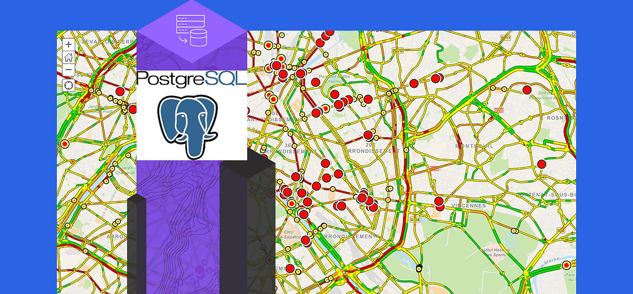
PostgreSQL
-
Spatial Database Design
-
Spatial data administration ArcSDE, SQL Server, Oracle, PostgreSQL
![site-analysis-territory-planning-5050[1]](https://static.wixstatic.com/media/3b5426_8e6c0eccb6694786b456dcd85b61ef90~mv2.jpg/v1/fill/w_1271,h_591,al_c,q_85,usm_0.66_1.00_0.01,enc_avif,quality_auto/site-analysis-territory-planning-5050%5B1%5D.jpg)
GIS Strategic Planning & Implementation
-
GIS Staffing
-
Building GIS Technical Staff
-
System Architecture and Deployment Strategy
-
Managing Technology Change
-
Business Continuance Plan
![interact-with-map[1].gif](https://static.wixstatic.com/media/3b5426_a42dd0b067a046d5bb787b2ae01b20c5~mv2.gif)
Needs and Requirements
-
Requirement Gathering
-
Analyzing the requirements

System Architecture and Design
-
Identifying and Defining user workflow requirements for an Enterprise GIS system.
-
Describing software deployment patterns appropriate for an Enterprise GIS system workflow.
-
Recognizing system design factors that impact GIS software performance and scalability.
-
Identifying network bandwidth requirements and remote client performance expectations.
-
Describing platform architecture deployment patterns for meeting your system non-functional deployment requirements.
-
Selecting platform technology that will satisfy ArcGIS performance and capacity needs.
-
Applying best practices for incorporating security throughout system design and deployment.
System Integration
-
Integration with ERP Systems such as SAP.

Training Services
-
GIS User Training
-
Technical Support
-
Maintenance

Industries Served
-
GIS Applications for Mineral Prospecting, Real Estate, Crime Information and Analysis, Urban planning, Land Use/Land Cover, Geology, Geomorphology, Stratigraphy, Zoning Atlas, Environmental Impact Assessments.
-
Spatial and Temporal Analysis for Rapid Change Detection.
-
Web GIS Enabling for Travel Industry.
-
Custom Software Development for Municipal and Urban Planning.
Start mapping and understanding your data
There are many ways to access Esri’s mapping capabilities including cloud-based SaaS, self-managed infrastructure, developer tools, and desktop software. Identify how you would like to access the capabilities and learn more about the corresponding product.
Cloud-based SaaS
ArcGIS Online
Get started with ArcGIS Online, Esri's cloud-based, software-as-a-service product. Your maps, apps, and data are hosted and accessible anywhere.
![product-arcgis-online[1].jpg](https://static.wixstatic.com/media/3b5426_4208a921f1bf4644bc3a93a3b7fdc744~mv2.jpg/v1/fill/w_333,h_184,al_c,q_80,usm_0.66_1.00_0.01,enc_avif,quality_auto/product-arcgis-online%5B1%5D.jpg)
Cloud-based SaaS
ArcGIS Online
Get started with ArcGIS Online, Esri's cloud-based, software-as-a-service product. Your maps, apps, and data are hosted and accessible anywhere.
![product-arcgis-enterprise[1].jpg](https://static.wixstatic.com/media/3b5426_17a673dfb4184ce1b534cb8b665ff342~mv2.jpg/v1/fill/w_333,h_184,al_c,q_80,usm_0.66_1.00_0.01,enc_avif,quality_auto/product-arcgis-enterprise%5B1%5D.jpg)
Cloud-based SaaS
ArcGIS Online
Get started with ArcGIS Online, Esri's cloud-based, software-as-a-service product. Your maps, apps, and data are hosted and accessible anywhere.
![product-dev-tools[1].jpg](https://static.wixstatic.com/media/3b5426_b3eb9036952e4eca9cd509119e9983ab~mv2.jpg/v1/fill/w_333,h_184,al_c,q_80,usm_0.66_1.00_0.01,enc_avif,quality_auto/product-dev-tools%5B1%5D.jpg)
Cloud-based SaaS
ArcGIS Online
Get started with ArcGIS Online, Esri's cloud-based, software-as-a-service product. Your maps, apps, and data are hosted and accessible anywhere.
![product-arcgis-pro[1].jpg](https://static.wixstatic.com/media/3b5426_486997a3740f40d3b962b5f63d51bae7~mv2.jpg/v1/fill/w_333,h_184,al_c,q_80,usm_0.66_1.00_0.01,enc_avif,quality_auto/product-arcgis-pro%5B1%5D.jpg)